2nd Hand Equipment - Coming soon!

We are now putting the final touches to the World Mining Equipment 2nd Hand market place. If you would like information on this service contact

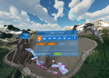
Maptek has unveiled its latest innovation, GeoSpatial Manager, describing it as a groundbreaking solution that brings simplicity and efficiency to workflow, revolutionising the way mining and civil engineering projects handle data from laser scans and drones.
GeoSpatial Manager updates surfaces, allowing users to manage, visualise, and download any as-built surface at any given point in time throughout the project lifecycle. “Customers can say goodbye to the challenges of managing vast volumes of survey data.” said Global Strategy Manager, Jason Richards.
GeoSpatial Manager automatically updates as-built surfaces when new data is imported. Centralised storage on a cloud or network server avoids uncertainty around locating survey files that may be stored in various folders on a local or server machine. “Having the latest data at your fingertips eliminates the risk of using outdated surfaces for critical design work.” added Richards.
For more information: https://www.maptek.com/products/geospatial_manager/
Severity: Notice
Message: Trying to access array offset on value of type bool
Filename: models/common_model.php
Line Number: 545

Severity: Notice
Message: Trying to access array offset on value of type bool
Filename: models/common_model.php
Line Number: 545